Начална страница /

Breakfast Brief: Severe threat shifts to Northeast

9:00 ч.
16 юли 2024 г.

Breakfast Brief
Severe threat shifts to Northeast

Severe storms swept across the Midwest and western Ohio Valley last night, bringing impacts across multiple cities. Dangerous heat will continue to affect portions of the Eastern U.S. before a sharp cooldown arrives mid-week.

Did you know?

On this day in 1936, the U.S. was in the midst of one of the most intense heatwaves of the 20th century. Temperatures soared across the Midwest and Great Plains, exceeding 100 degrees Fahrenheit in many locations. For example, La Crosse, Wis., experienced 14 consecutive days of temperatures at or above 90°F, with the highest reaching 108°F on July 14th.

On Monday night, another round of strong to severe storms swept over parts of the Middle Mississippi Valley and Western Ohio Valley into the Great Lakes. These storms brought impactful weather through strong winds and heavy rain to cities like Des Moines, Iowa, Milwaukee, Wisc. and Chicago. This was one of two severe weather episodes that had affected the Windy City since Sunday.

A national overview of prevailing weather conditions at noon on Tuesday, July 16, 2024.

On Tuesday, these storms shift east along an eastward-advancing cold front. Intense storms will focus on the Northeast, where a round of damaging wind is possible. While the front increases the risk of dangerous weather, it will also bring a noticeable cooldown as it shifts east. Areas east of the front will continue to experience dangerous and near-record-breaking temperatures until the frontal passage.

Tropical update:

Currently, no development is expected over the next seven days.

The news we're covering today:

  • Violent and destructive derecho barrels across Chicago
  • Record-breaking temperatures set across the East

Did you miss these?

Watch: A lightning show in ChicagoНаучете още
Heat danger exacerbated by power outageНаучете още
Incredible SupercellНаучете още

App news & updates

Heat and humidity can be deadly, so you need to know about "feels like" temperatures. Click here to learn more about "feels like" temperatures and how Weather & Radar brings you the most up-to-date temperature and humidity data.

Federico Di Catarina
Това също може да Ви заинтересува
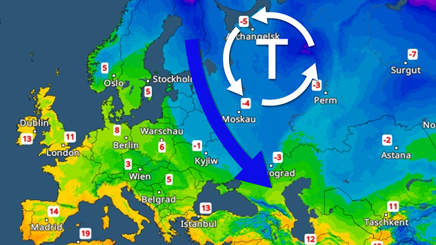
Карта на Европа с ниско налягане над Русия и силен поток студен въздух към Източна Европа. Ясно понижение на температурите в големи части от източната част.
четвъртък, 11 декември 2025 г.

Слани и снеговалеж

Спускане на студ над Източна Европа
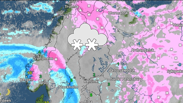
Карта на времето с обширни снежни площи над Скандинавия и Финландия. Снежни фронтове се движат от запад на изток.
вторник, 9 декември 2025 г.

Студът е далеч от нас

Къде се крие зимата?
Вляво на картата се вижда голяма дъждовна зона над Гърция. Вдясно се вижда нощна улица с наводнение. Автомобилите карат внимателно по наводнената пътна настилка.
петък, 5 декември 2025 г.

Циклон с дъжд и бури

Наводнения в Гърция
Всички статии
Време & Радар

Време & Радар е също наличен на

Google Play StoreApp Store

Предприятие

Свържете се с нас Защита на данните Контакти Декларация за достъпност

Услуги

Ъплоудър

Социални мрежи